Pre Spiel:
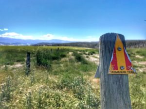
The Tasmanian Trail is a 400-something kilometre trail from Devonport to Dover almost splitting the island in half, and comprises many random small towns and off-the-beaten-track routes to the next town. It’s fabulous.
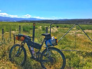
They call it a “soft adventure” though I’m not sure where they got that term as it can be tough going cycling some 1,500+m elevation on consecutive days over rough 4X4 tracks! A mountain bike is fun cycling for the difficult bits! (Other options: gravel bike (better), horse (cool), or walking/trekking (ahem, boring)).
We travelled light as we read about the abundance of towns and wanted to eat lunch and dinner/finish in towns to save carrying cooking gear, and it provides the opportunity to support/sample local offerings… Sometimes it didn’t go as well as planned (read: muesli bar dinner one night).
It took us 5 full days and 2 half days either side – because of the above meal plan, we kept moving – and the fact it is light until 9pm approx., who wants to sit around 5 hours waiting for the sun to set!? We would arrive to a town of nothing much to do and think – ah well, let’s just keep pushing on..
Some statistics of the ride:
- 7 days (with 2 half days at the start and end)
- 453.8kms starting Devonport Airport to Dover Town Trail sign
- Biggest day elevation 1,733m and total elevation 9,536m! (So you can pull out that cool “Everest” stat!)
- Longest day 87.2kms / 5 hours (holiday mode style)
Have a quick read of my Tasmania Summary for a quick laugh and insight into the State – it links to many themes below.
Day 1 – Devonport Airport to Sheffield
- 42.4kms
- 2:12:05 total time incl. breaks
- 498m elevation
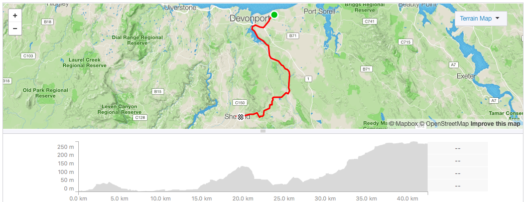
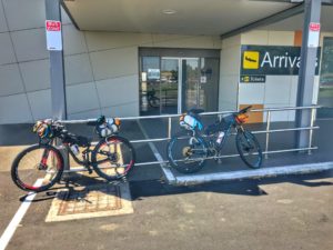
Via Melbourne we arrived to Tasmania on a small runway with one side farms and the other a stretch of beach to the open ocean literally 300m away. As a tiny airport, everyone left and we were just by ourselves setting up the bikes – but before the last person in sight disappeared to his car I asked what we should do with our bike boxes and if there was a cardboard recycling bin around – no recycling in Tasmania(!) and we should just leave them in the corner for the cleaner.
We actually remembered everything, and soon enough at 1:52pm we were away!
The starting road section included a busy highway before we joined the trail-proper along a river, arriving at the Latrobe Axemans Hall of Fame to find it closed 20 minutes earlier at 3 PM (on a Monday! It would turn out we didn’t really need the Trail toilet/gate key they had anyway). You learn this shop timing business quickly in Tasmania..
So we headed into town and had an amazing curried “guaranteed 6” scallop pie for a late lunch – day one and we started our food tour on a high note even though the bakery Banjos turned out to be a chain.
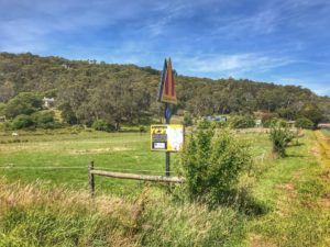
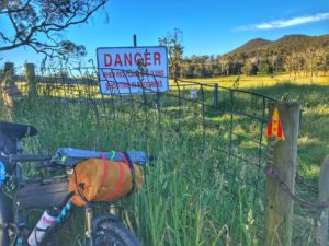
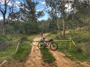
Shortly after leaving town we hit our first bit of dirt (read: rough 4X4 track) through the scrubby bush over a couple of gates (key might have been handy but the bikes are not heavy!), eventually the track popped onto rolling roads through farm areas and plantations of poppies, which would be a common sight with their illegal use warning signs.
The next off-road section was a Rail Trail, which was a very pleasant gentle wide path crisscrossing the major road in the area.
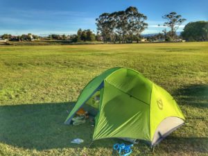
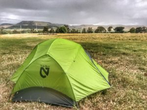
After coming through the shooting range into Sheffield town, the campsite presented (part of the cricket ground). Some guy over the fence – perhaps policing the adjoining RV campsite (he wouldn’t identify himself by name or organisation) – gave us grief about staying there despite clear camping signs for Trail users. An indication of how good the Trail Association are – we texted one member asking if we should be worried and got an offer for his place down the road! We decided to stay put.
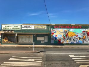
We quickly explored Sheffield which is a nice town; like a quaint ski town without the ski. Full of murals as their “thing” and very tidy – 4 cafes!! (All of them we spotted as opening late morning/9am after we would have ideally got going). Cafes opening late mornings is a thing.. So, expect to depart each day after 10am if you need coffee first!
We had a great pub meal amongst the local Lions Club and another businesses Xmas breakup, which made us think that all these towns are buzzing with pub life. The next 2 nights we would dine in towns alone.
Day 2 – Sheffield to Brecknall
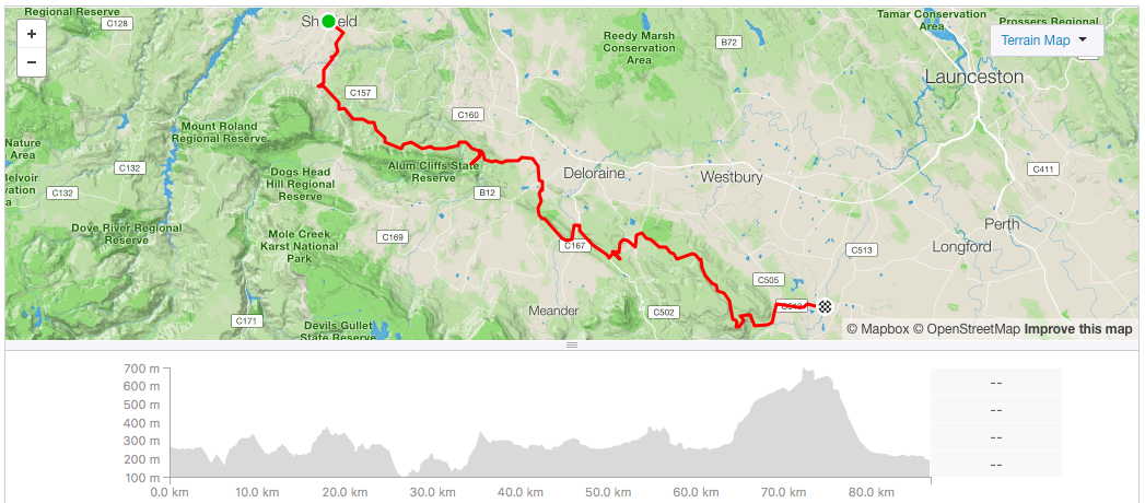
- 86.7kms
- 5:09:06
- 1,733m
My borrowed sleeping mat went down overnight, bugger, on the first night!
One of the towns cafes/bakery greeted us with pleasant offerings of deliciousness – a coffee with the typical food thing in Tasmania: egg and bacon rolls and toasties. We had one of each; good form, they were great and Tasmanians know how to do them well.
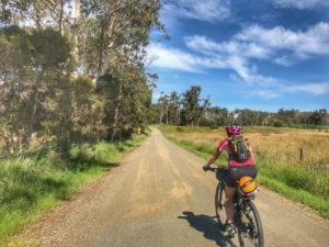
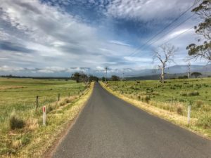
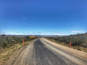
After fuelling up we pushed off 10am approx. (on holidays after all!) rolling down the road through some great scenery of farming areas. It was hilly and soon enough the road turned into dirt. A common daily theme of a short bitumen stretch turning to dirt, and hills was to ensue.
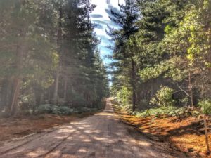
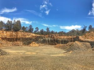
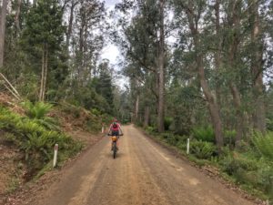
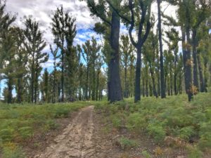
It was really nice forest, surely pegged to be logged at some point.. The trees provided great shade and air has never smelt so fresh. Eventually the fire road went from lush to a not-so-nice was-forest logged section, with a bald knob of hot sun and views over machinery working below. I guess someone needs to provide timber? I guess they have thought about the right/sustainable way to go about it?

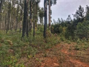
Was-fresh forest of Lower Beulah.
The fire trail deteriorated as it wound down past a camp hut before popping out to a river with a deep-ish knee depth crossing. On the other side, the trail was even more deteriorated which included a few other small stream crossings. The air temperature suggested hot with cool breeze; the temptation to dive into the small streams was great until you consider how cold (it was, and) the departing ride would be despite heating up from the activity. We stuck to soaking our shirts, etc. and pushing on.
Dirt turned to good gravel amongst farms, and then to bitumen.. We hit a tourist trail with our first tourist stop at a dried fruit producers factory/outlet. With some supplies we pushed on for lunch and found a salmon farm – 41° Salmon – and had a tasting board of smoked salmon and local cheeses. Yum. The ride was turning into the foraging food trail we hoped for! (Note: these 2 stops were the only mid-ride foraging tourist stops we ended up having! Sad!).
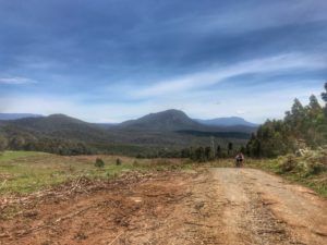
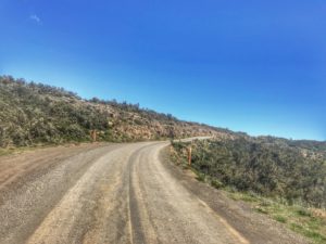
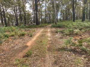
We needed that lunch, as next minute the dirt road climbed something crazy. It was a proper ascent to a ridgeline which had small peeps through all the tall wild trees, of a land stretching South far below. The trail disappeared to a skinny barely-a-path into really thick scrub, but it was marked so we continued on, eventually to a more substantial clay track “driveway” to a random bush house, and then we started the flying descent down. It was 4×4 stuff, and flying past an old timber mill the track turned into road for an even faster roll for a looong time – what a thrill!
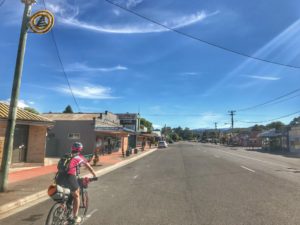
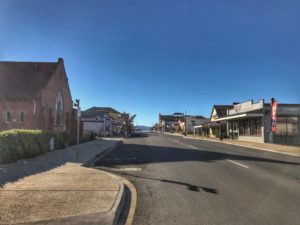
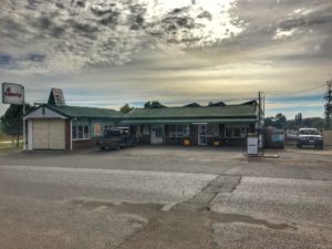
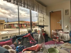
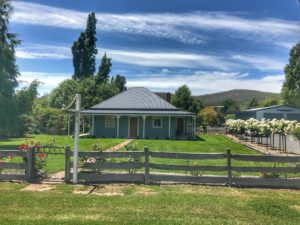
Winding into the town of Brecknell, the pub was closed and a school play was on in the lone hall with a lot a people crammed in and around it – we sought from the crowd the local food offerings.. it was only 7pm, the pub was shut, and they said that was it!
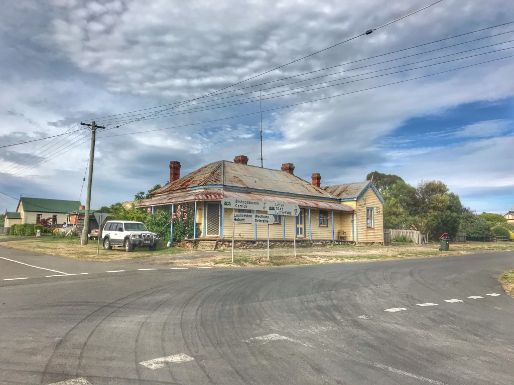
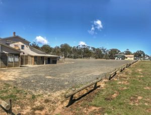
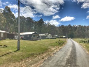
Small town Brecknell. The main intersection.
Using the local campground we washed in a very cold stream and had muesli bars and remnants of the dried fruit for dinner. Bugger.
Day 3 – Bracknell to Miena
- 87.2kms
- 4:44:37
- 1,675m
We decided to swap sleeping mats, so I sleep well!
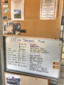
We found the local service station/”General Store” and had a sandwich for breakfast, plus huge (ordinary) coffees, which was good enough to get us going..
Shortly after starting down the bitumen road out of town it turned into dirt, crossing up and over a few hills as usual!
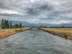
We then experienced our first Hydro attraction, the tailrace runoff which was a torrent of water in the middle of 2 farms – it turns out Tasmania takes its hydro very seriously. We saw it as great for someday floating down with inflatable pool toys on a weekend with a few drinks and friends.
A few kilometres along was decision time – the trail guide suggests the hill up to Miena was for horses and trekkers only. After the craziness of the previous day and its effects on our legs, we made the choice to stay on the road versus going over Hydro Hill.
That’s not to say the road was easy!
Part way up when you think you’ve made a dent into the hill, is the cute little town of Poatina. The former hydro settlement turned privately-owned town could be taken as disturbing.. Impeccably tidy and quiet, and they haven’t served spirits in many years – so in some Hotel California flash we were not sure we were going to be able to leave! Just kidding, it was actually a colony of immensely helpful people who kindly opening up the restaurant just for us so we could to have a second/big breakfast and pre-lunch! We needed to! There we were told of elite cycling cohorts breaking records on the upcoming Poatina Hill with Richie Porte completing the 10 km in 20 minutes! The challenge was set. (Ha! We had no chance on mountain bikes full of gear).
The Poatina hill was something to be reckoned with; it took just under an hour and another 40mins for my girlfriend. The switchbacks were straight out of some famous Stelvio style climb in Italy. The top was a real achievement!
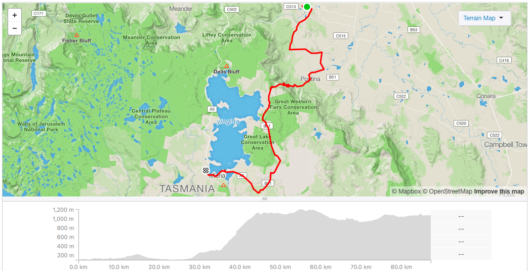
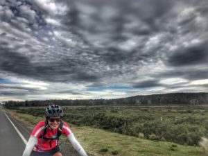
Then the weather turned dark, and there was a long road section (with the Trail prompting a small dirt detour out and back to see more hydro pipes that we – oops – accidently missed the turnoff for), before we hit the barren earth and headwinds of the Great Lake dam wall stretch – it had been a long day of many hills and trudging into a headwind on tired legs in miserable conditions seemed to go on forever; one of those moments I guess you wanted to really reach the end.
Plus the town seemed so spread out, with small fishing shacks strung out along the moderately hilly road before we found the (for sale) Great Lakes Hotel – like a beacon of salvation! The wind and impending rain saw us skip choosing a camp site and instead seek refuge in one of their cabins for the night. A hot shower later we were very pleased with this days efforts and rewarded ourselves with a big porterhouse steak knowing a good sleep was coming in a real bed!

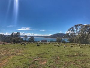
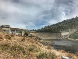
Dam, this Great Lake (Wall adjusted higher 3 times in fact)
Day 4 – Miena to Ouse
- 78.9kms
- 4:07:19
- 995m
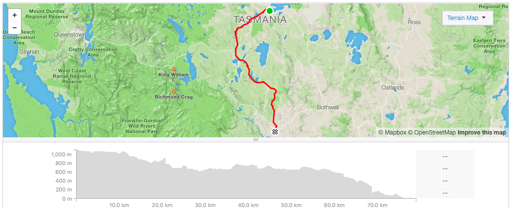
Toasted sandwiches at the Servo/General Store (for sale) was the breakfast winner again before departure on to the bitumen road which lasted of all of 500m before the gravel started; up and down as usual with some trucks flying past in a whirl of dust.
There was a hiking and horse-only recommended Trail section which we thought we would look at, so we darted into the bush to see a very scratchy lose rocky track that was going to be extremely slow going on our bikes – we headed back to road keep going until the next dirt patch after Bronte Park. We had lunch at the service station/general store (for sale) as the dry day heated up.
Deviating off the highway towards the Trail’s Victoria Valley campsite we were committed to pushing on to Ouse that night. It was funny to see on this random dirt road a “National Black Spot” sign on a corner where the gravel road seemed OK, but hey, taxpayers money in good use in all random parts of this country. Through here were more small fishing shacks – who lives out here in the dense bush miles from anywhere but a small lake?! Even for a holiday!? Some people must be mad into fishing. Or just mad into solidarity (I’ll admit suburbia’s abundant happenings has me captured to a city life!).
Despite the overall day as “downhill”, added to the previous day, the small bumps and mostly fire road riding made it a long journey. A final bomb down some hills proved a bit of fun and a chance to stand up and rest the bum! Winding onto bitumen again, the town of Ouse was in sight and pleasantly it was late arvo rather than early evening, so we treated ourselves to a cider at the pub, vowing to return for dinner after setting up camp. Our “shower” was quick flicks of water from the tap in the cool breeze, burr! A hearty meal in the unlit dining room just by ourselves and (oops) bottle of wine between the 2 of use set us straight for an exhausted collapse.
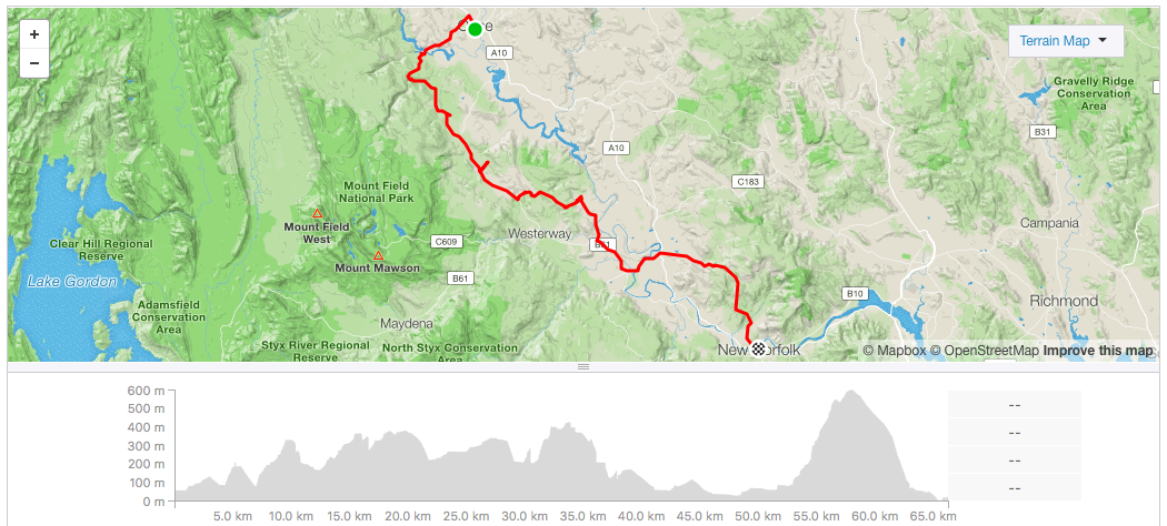
Day 5 – Ouse to New Norfolk
- 66.2kms
- 4:13:52
- 1,726m
A new strategy of mutual kindness to share one working sleeping mat sideways providing coverage from shoulder to bum – although not ideal – worked moderately well. It was probably the bottle wine that made starting more difficult!
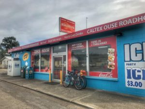
The local service station/truck stop was well stocked with goodies including great bacon and egg rolls so we have had a couple of those! Then we pushed off, eventually skirting around a dam after the bitumen turns to gravel and approaching the aptly named Repulse Dam.
It was somewhere after this point that the markers of the Trail became confusing. With people writing on the signs as well as different directions in the guidebook. On reflection we should have entered the next intersections coordinates into our GPS watches to get it right. The notes said if you have reached Spur 1 you’ve gone too far. We stopped at Spur 2, with no previous spur indication or signs, so we assumed the numbers were counting down and chose it.
We descended down for quite some time of what was a decent fire road that ended abruptly and turned into a skinny path through the brush. It was generally speaking the right direction, however it was too far to the right of where we should’ve been, but we thought we could persist on and maybe meet up with the main Trail. We were wrong and next minute with foliage so thick, we were forced to cross a deep rocky river losing our sunscreen and all sorts of things into the swift water (… chased down the bank trying to catch up to them!).
What ensued was 10/10 bush-bashing through dense scrub littered with fallen trees from past floods, dense bushes and trees that don’t move when you push against them, and high ferns that slowed travel. This was some adventure racing flash of hiking a bike and bush bashing for 2 hours for just ~2kms of gain! In the process things got broken, ripped, and lost. It was terrible.
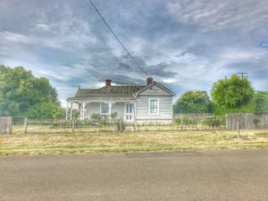
Eventually we met the main Trail which went up a rough rutted hill, across some more logging barren hills in the midday heat. We also had our first giant black mamba snake scare, as one stared at us from the side of the track. More steep up and down over gravel before we hit the road into Ellensdale. This was a neat little town! It had information everywhere and was generally well presented of street and house.
The post office/general store presented food in the form of bread rolls and an ice cream! This was supposed to be lunch! Luckily we had bought some tinned sardines at Bronte Park the day before to put on our newly acquired bread rolls. The lady at the shop told us she was also from Queensland and so was half the town, and then proceeded to inadvertently freak us out by telling us we guaranteed to see some snakes on the next bit.
Heading down the road the Trail suggested going through (over) a gate to a very sketchy bush part which was dry hot and extremely rocky – there was no greenery, it was grey and ugly. And then we saw another snake. This was not fun.
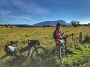
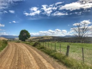
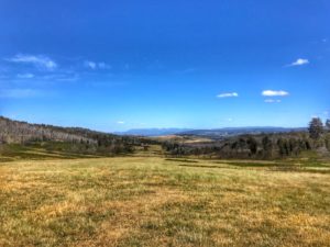
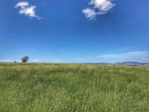
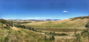
However some 10 km later we were rewarded with open fields and amazing views. This was what the Trail was all about! All that dry and hot climbing earlier was worth it!
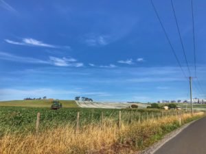
Because of so much climbing there was another reward; flying down the hill at full pelt! Great fun! Eventually field turns to gravel road, and we handed onto bitumen through some hops growing areas – via another ice cream.
This road section and “close” proximity to our destination suggested that we had it made, with just a road around a huge mountain to New Norfolk. No, the Trail goes over said huge mountain. Again bitumen turns to gravel, and flat gravel turned into an insane hill climb. It was mid-afternoon with heat and barely any wind, and this hill – who knows how long it went for – forever!
By time we reached the top we were ready to finish for the day. First, more flying downhill – this time on bitumen. It was fun and dangerous. Looking at my GPS watch suggested 95 km/h! I doubt it, but it felt that fast, this hill was something like 14% down for a few kms straight into the back of New Norfolk.
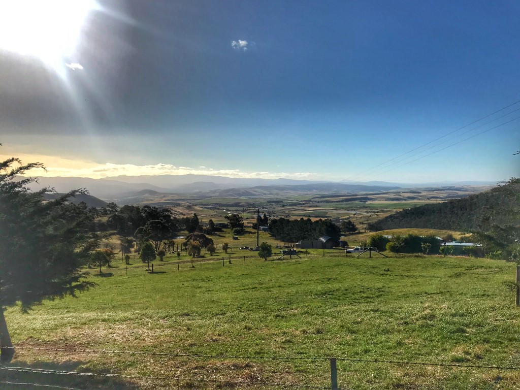
View from the top of the Black Hills climb.
On route to the caravan park we spotted the Bush Inn, known as the longest continually licensed pub in Australia! For $80 a night, it would do just fine.
It turned out to be pretty good, and so did the town – what you don’t realise on a bike is that – although days away from finishing – this place is barely 2 hours drive from Hobart and quite the tourist spot. Sitting on the Derwent River and full of antique stores – it had a nice Pioneer history of Norfolk Island settlers. With legs up we had a drink with the locals.
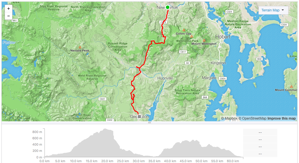
Day 6 – New Norfolk to Geeveston
- 63.2kms
- 4:12:21
- 1,708m


I’m not sure this is worth mentioning: we got 2kms out of town before it was gravel, and then there was a hill (usual story).
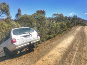
And the hill keep going. And then the road deteriorated. (It was a really long climb, the local 4×4 club had made some fun of the tracks and we navigated big bog holes).
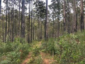
And then there were nice forest areas winding up and down along old logging roads (quote peaceful actually).
(deja vu!)
And then the sky got grey.
Some of these gravel roads had a lot of turns and intersections which kept us on our navigating toes, and taking the fun/opportunity out of flying downhills. Anything called “Spur” we avoided after last time!


Eventually: Judbury, as the rain started.
Here we had sandwiches purchased from the servo opposite the Bush Inn, as we waited for the sky to clear, and for the really cold wind to subside a bit. (This is the first and only time we used our rain jackets!).
Yet again, as expected, after this stop we started climbing on our way to Geeveston. It was all fire road and also had the steepest dirt descent of the trip; a badly rutted 4×4 track underneath power lines which dropped a few hundred metres; so steep the back wheel came off the ground and we fought to balance the bike! More meandering down – when having to go slow it’s hardly as fun and rewarding as it should be after all that climbing.
Geeveston, as another quaint and tidy tourist town, rewarded us with scones and hot chocolate! We sought refuge amongst the free campers next to the RSL beside a creek. Another very cold creek-shower! We scooted a few kilometres down the road to the Kemandie Hotel for a rewarding dinner after the long day.
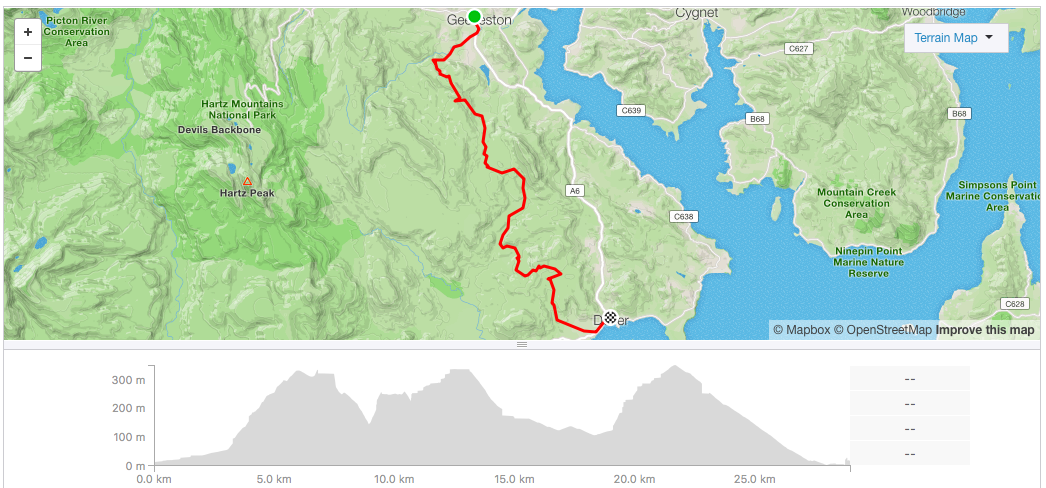
Day 7 – Geeveston to Dover
- 28.9kms
- 1:59:05
- 764m
For the last day it was a pleasant way to wake up; looking down to the stream listening to the water running. Breakfast was at the quirky One Stop Shop (for sale), which was run by a Turkish lady offering everything, which makes it a must visit!
We were excited because there were just 30kms separating us from the end! We committed to Dover, even though we contemplated cutting the trip short here and just going straight across direct to Hobart. It would make sense if you were pushed for time, or doing it ‘exactly’ wasn’t a concern.
The Trail almost immediately went to gravel again, a long climb, again! The enthusiasm of finishing soon kept us going up more 4×4 tracks including crossing open dry areas of sand, then through an active logging area before hitting a road that rolled straight into the ocean. What a sight! From ocean North to ocean South, we had done it!


The trail-proper ends next to a very small park in this (very small) town, which is not quite the fanfare you look for after having completed such a trip! Only you know what you’ve achieved as the town dog comes out to look at you rolling past.
So the Trail was done, some 4-500 km in 7 days it was time for an RSL lunch to toast the journey!


P.S
The Tasmanian Trail is undeniably very hilly, largely off-road, difficult, lacking facilities, and somewhat lonely.
But it is all of these features that made it special; we appreciated each of them as a part of the journey and what makes it rewarding to finish. It is something recommend to anyone who has a vague interest (or ability to cycle) and wants to do some low impact exploring of a very unique countryside.
We also finished several days ahead of schedule – what to do next! Circumnavigate Tasmania! Read on..!



10 thoughts to “MTB Bikepacking: The Tasmanian Trail in 7 days”
Pingback: How to See All of Tasmania in 2-3 Weeks (Itinerary for the Adventurous) ⋆ Where'sThor.com
Pingback: Bikepacking Clothes List + Gear PackList ⋆ Where'sThor.com
Good read Thor!
Thanks Nick!
Pingback: Tour Aotearoa Bikepacking Packlist ⋆ Where'sThor.com
Hey Thor, best info so far on the trail. Doing it next year and this has been a great help.
Glad to hear you found it useful Adam! You’ll have a blast 🙂
Great stuff Thor. A couple of mates and I plan to do this in October. Any view of North > South vs South > North. Prevailing winds all seem to be reported as westerly so not sure it makes much of a difference?
Hi Craig! How was the ride? Certainly the wind will hit you whichever direction so it wouldn’t matter / hope you found that out 🙂
Awesome! Its genuinely remarkable post, I have got much clear idea regarding from this post